 Skip to main content
The UK Hydrographic Office will be withdrawing the ADMIRALTY ECDIS Service on 31 January 2024.
Following a review of our products and services, the decision has been taken to retire the ADMIRALTY ECDIS Service from 31 January 2024.
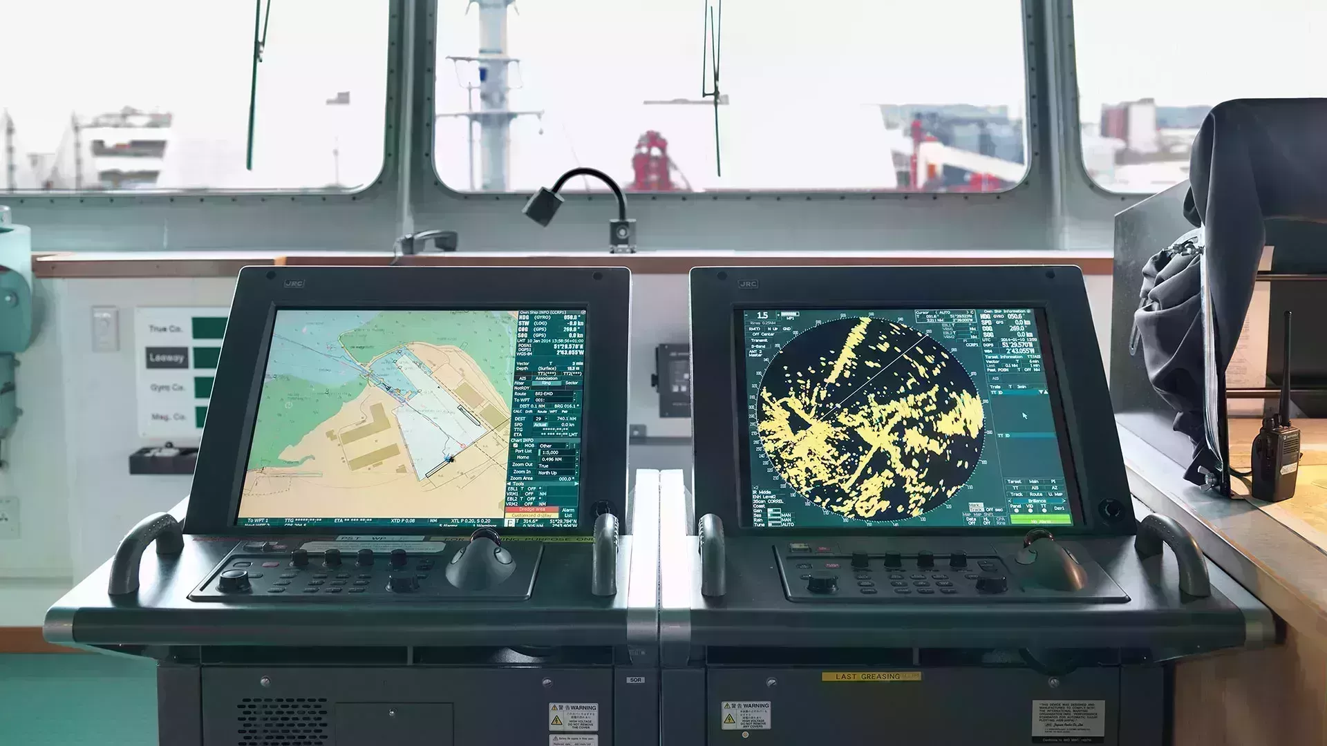
The ADMIRALTY ECDIS Service offers Electronic Navigational Charts (ENCs) found within the ADMIRALTY Vector Chart Service (AVCS) and raster charts found within the ADMIRALTY Raster Chart Service (ARCS) at a fixed annual price.
After 31 December 2023, users will no longer be able to renew their licences or place new orders for this service. The service will then be completely withdrawn on 31 January 2024, after which users will no longer be able to purchase ARCS and AVCS within a joint folio.
Users will still be able to purchase ARCS and AVCS separately. This will enable users to purchase only the raster charts and ENCs they need and take full advantage of the continual updates available in AVCS.
Frequently Asked Questions
- What will happen to existing ECDIS Service licences?
Existing ECDIS Service licences will automatically be migrated over to standard ARCS and AVCS licences during early January. If you have a licence that will renew before the retirement, you will be able to continue to make use of the ECDIS Service. However, it will no longer be possible to renew your licence after 31 December 2023.
- Will this have any impact on available chart coverage?
The retirement of the ADMIRALTY ECDIS Service will not result in the removal of any chart coverage. Users will still have access to the same chart coverage that was available through the ADMIRALTY ECDIS Service via ARCS and AVCS.
- How can I now order ARCS and AVCS?
ARCS and AVCS can still be purchased separately through Fleet Manager. This ordering system allows for greater flexibility when ordering new ENCs or getting updates. ARCS coverage is available in 10 regional folios (please note these folios differ from those sold within the ECDIS Service) while ENCs can be purchased on a chart-by-chart basis within AVCS.
- Why is the ECDIS Service being retired?
This decision comes following a decline in sales for ARCS, alongside investment to bring significant improvements to AVCS; as a result, it has become unsustainable to maintain the ADMIRALTY ECDIS Service in its current form.
If you have any questions or feedback regarding the retirement of the ECDIS Service, please contact our team at products.feedback@ukho.gov.uk.
ADMIRALTY Vector Chart Service
The ADMIRALTY Vector Chart Service (AVCS) is the world’s leading official digital maritime chart service, with over 17,000 official Electronic Navigational Charts (ENCs) to help bridge crews navigate safely and efficiently whilst meeting flag and port State requirements.
ADMIRALTY Raster Chart Service
The ADMIRALTY Raster Chart Service (ARCS) provides raster chart coverage of international shipping routes, main ports and harbours in a comprehensive range of scales. Ideal for both bridge crews and shore based users, it combines the familiarity of traditional ADMIRALTY paper charts with the precision of satellite positioning to support decision making.