 Skip to main content
New tool developed by UKHO and Teledyne CARIS will help project to accelerate data processing and build a greater understanding of our world’s oceans
The UK Hydrographic Office has entered a technical cooperation agreement with The Nippon Foundation-GEBCO Seabed 2030 Project and Teledyne CARIS, a leading developer of marine mapping software. The Memorandum of Understanding – announced on the first World Hydrography Day to fall within the UN Decade of Ocean Science for Sustainable Development – will see the parties work together to advance the effort associated with producing the definitive map of the seafloor by the year 2030.
The announcement also coincides with the release of the latest GEBCO Grid figure – with 20.6% of the world’s entire seabed now mapped. When Seabed 2030 was launched in 2017, only 6% of the oceans had been mapped to modern standards. The latest figure has seen a growth of 1.6% from last year’s data – an increase equating to around half the size of USA.
Seabed 2030 is a collaborative project between The Nippon Foundation and GEBCO to inspire the complete mapping of the world's ocean by 2030, and to compile all bathymetric data into the freely available GEBCO Ocean Map.
As part of the new agreement, the three organisations will use a new AI tool, developed by Teledyne CARIS and the UKHO as part of their ADMIRALTY Maritime Data Solutions portfolio. The AI-Based Bathymetry Data Noise Cleaning Capability will help to reduce the time it takes to process bathymetry data, freeing up experts to focus on analysing and adding value to data collected through the programme.
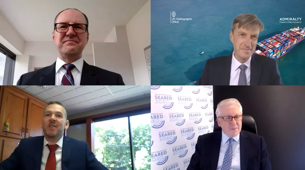
Commenting on the MOU, Peter Sparkes said:
“We are extremely excited to enter this new partnership with Teledyne CARIS and the Nippon Foundation - GEBCO Seabed 2030 project.
"Seabed mapping data plays a vital role in supporting maritime trade, the protection of our oceans and fight against climate change by keeping mariners safe and supporting sustainable development. Through use of this new capability, we hope to significantly reduce the time it takes to process this foundational data from days to hours – allowing us to build our understanding of the world’s oceans at a greater pace.
“We believe that collaborations like these can help to build a better future for all, so the UKHO will continue to build on this partnership and work with others across the maritime community to support safe, secure and thriving oceans.”
Commenting on the MOU, Seabed 2030 Project Director Jamie McMichael-Phillips said:
“Seabed 2030 is delighted to announce this new partnership with UKHO and Teledyne CARIS on the occasion of World Hydrography Day. As we enter the newly-launched UN Decade, but also final decade of Seabed 2030, we remain humbly aware of what we have yet to achieve – just under 80% of the world’s seabed still to be mapped.
“Last year’s GEBCO Grid saw an increase of 4% – this was made possible due to significant contributions of existing bathymetric data. Whilst this year’s growth is commendable in light of the global pandemic, it should act as a testament to the value of collaborative working to achieve our end goal, which is ultimately for the benefit of humanity.
“As we enter this final stretch, we call on everybody to get involved and contribute to our efforts. Together, we can make better use of the world’s oceans in a sustainable way. I am confident we will reach our goal as international collaboration grows.”